In what has been a below-normal season (so far) for snow accumulation, the next few weeks look to be active. A prolonged stretch of cold weather and numerous weather systems will impact the area over the next few weeks, and our first hit is coming up tonight through tomorrow morning.
Pittsburgh is way below normal snowfall this season…and behind the low total of last season. So far 10.5"…last season 14.2…normal 19.2
— NWS Pittsburgh (@NWSPittsburgh) January 23, 2017
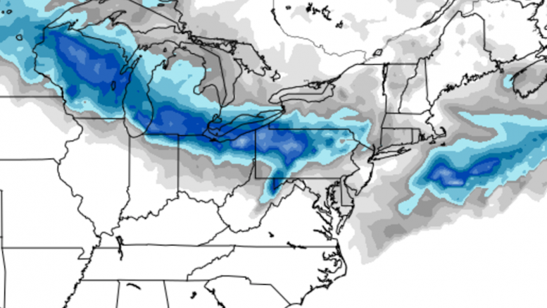
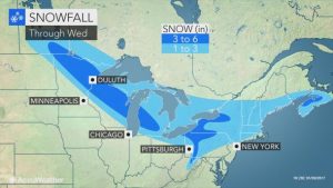
An Alberta Clipper system will sweep down from the Great Lakes to Western Pennsylvania tonight, providing a decent chance for some moderate snowfall. The biggest concern for this system is not total snowfall, but the time it will fall: right around morning rush hour. This timing has led us to predict numerous school closings/delays tomorrow, especially north of Pittsburgh.
DELAY CHANCE TUESDAY
(1=Very Low, 5=Sleep In)If you're on the line between two areas think optimistic and round up pic.twitter.com/k5n9hmeUjY
— Scott Harbaugh (@WPXIScott) January 30, 2017
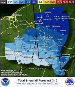
Below are the forecasts from the outlets we have been tracking all winter. Tomorrow, after the final flake falls, we will re-post these forecasts in our graded Analysis article.
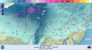
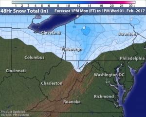
The National Weather Service’s Digital Model is calling for 2-4″ in Allegheny County, with a sharp gradient of higher totals north of there.
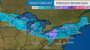
The Weather Channel has less than 1″ south of Allegheny County, 1-3″ within the county and surrounding areas, and 3-5″ north of the city. The further north you go, the more snow there is – up to 8-12″ in spots.
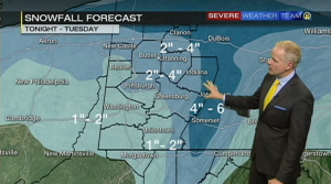
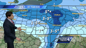
WPXI places the half of Allegheny County south of the city in the 1-2″ range, with the northern half in 2-4″
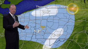
KDKA is by far the most conservative map, with 1-2″ in nearly all of the viewing area. They place 3-6″ in the mountains south of the city, and just 2-4″ by the lake.
Be the first to comment on "Forecast Roundup for January 31 snowfall"